Accurate data. Perfect surveying.
Twins Surveying
twins – Precision from a new perspective
Drone technology from Tyrol –
Innovative UAS solutions
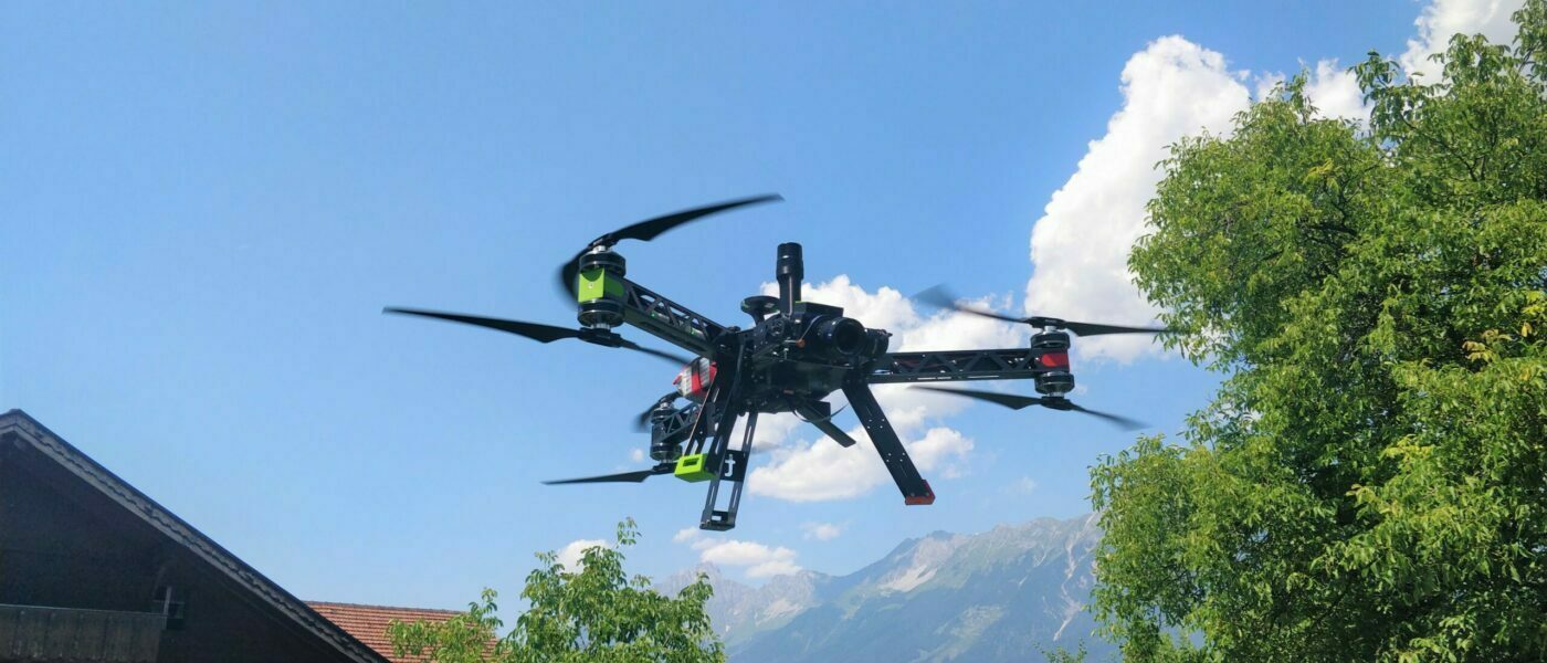
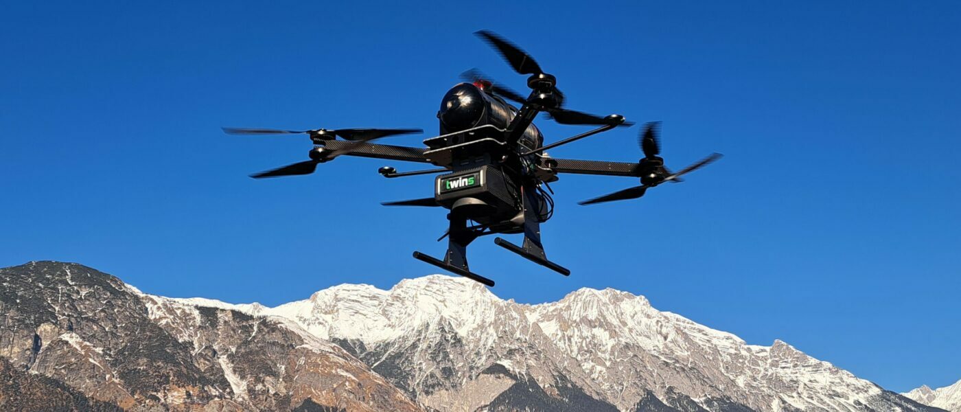
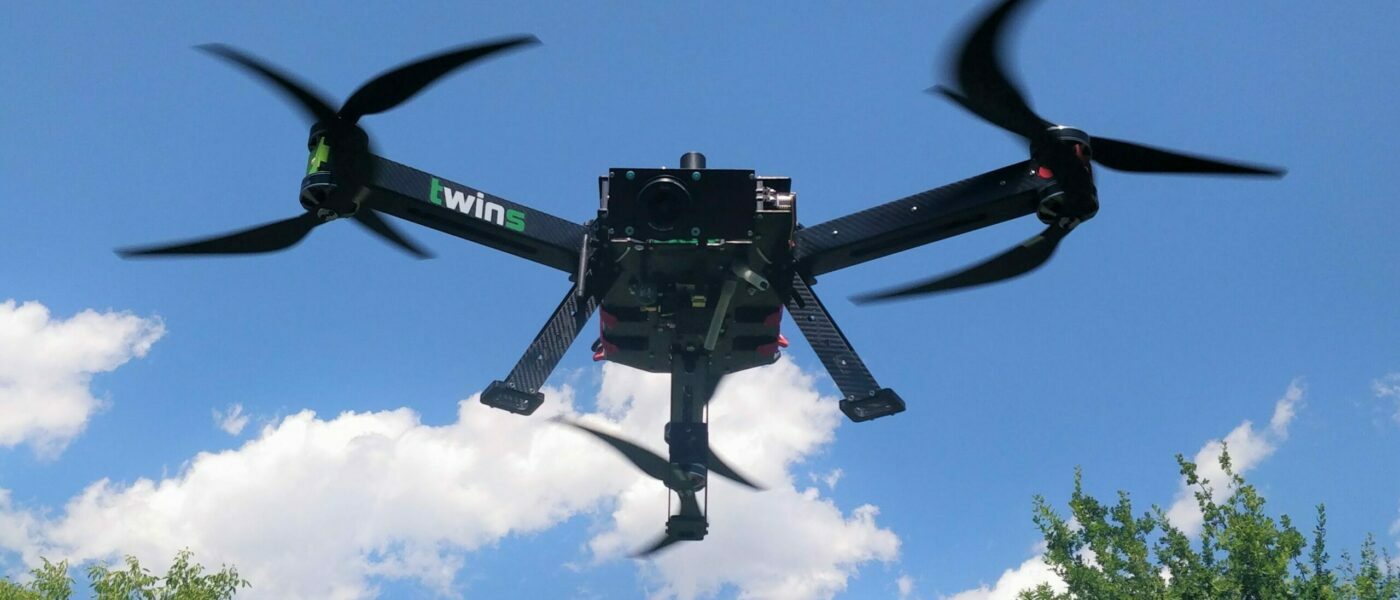
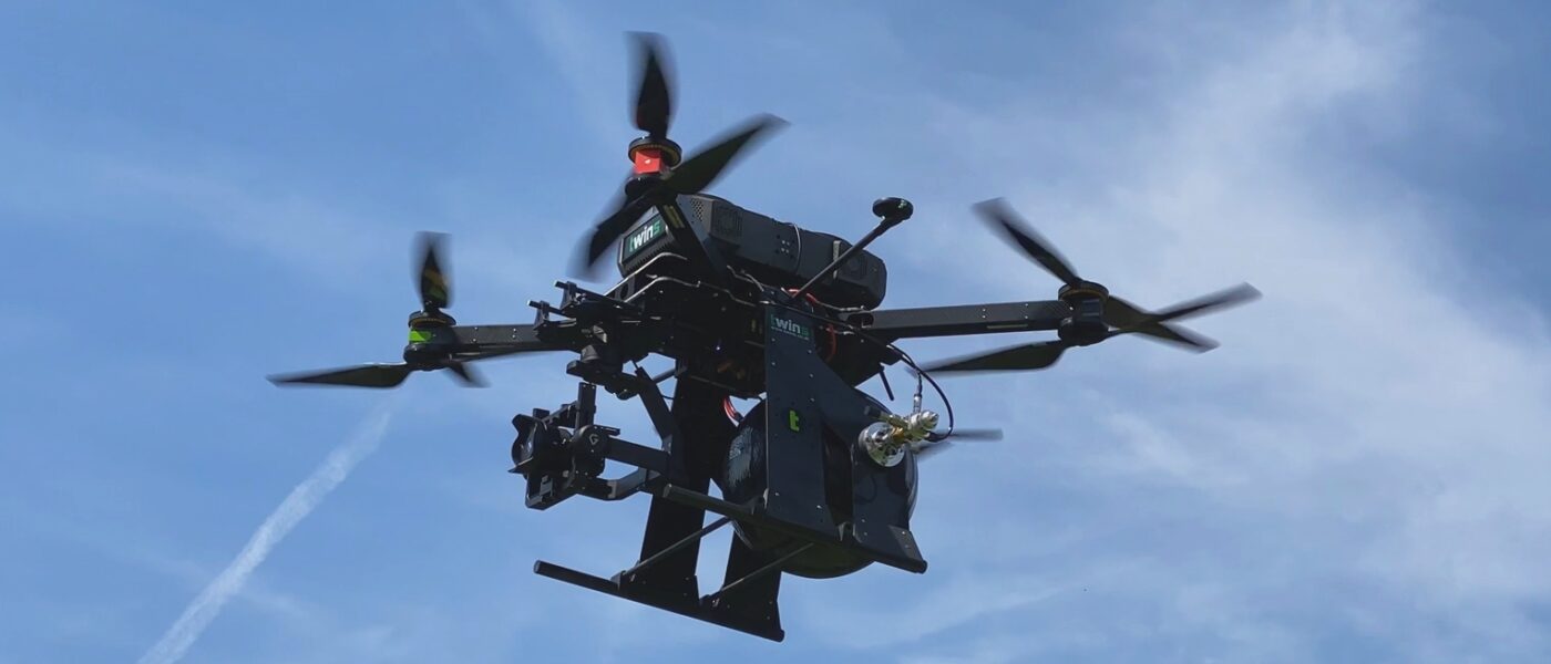
Modern drone technology opens up entirely new possibilities in surveying, analysis and data collection. Unmanned Aerial Systems (UAS) developed in Tyrol stand for the highest levels of precision, efficiency and technical innovation. Through the use of high-performance multicopter systems, even hard-to-reach areas can be surveyed safely and quickly – an ideal solution for construction, infrastructure and environmental projects.
Drones
twins develops innovative multicopter drones, captures data with precision and delivers projects efficiently in CAD and GIS formats or as clear PDF documentation.

DRONES PROVIDE CLARITY

Data collection and drone surveying of the highest standard
Every project begins with a tailored needs assessment to determine the most suitable surveying techniques and data sources. Data is collected either through drone flights or by integrating existing datasets. Modern UAS enable high-resolution aerial photography, photogrammetry and precise 3D surveying. These technologies are used in areas such as construction planning, infrastructure inspection and environmental monitoring.
Analysis and evaluation for precise results
Once the data has been collected, a detailed analysis is carried out to extract further information from the data obtained. By combining technical expertise in mechanics, electronics and surveying, we create a reliable basis for decision-making across a wide range of applications. High-quality drone systems are equipped with state-of-the-art sensor technology and custom-developed components to ensure maximum accuracy and efficiency.

Data transfer and bespoke solutions
The processed results are provided in standard CAD and GIS formats and can be integrated directly into existing planning processes. On request, we can also provide a clear, easy-to-read PDF version. By combining technological expertise, many years of experience and bespoke solutions, we create innovative drone services ‘Made in Austria’ that set new standards in data collection and analysis.
Products
twins offers innovative drones, multicopter systems and accessories for precise data collection, analysis and 3D modelling in CAD and GIS formats.
About us
twins GmbH combines technology, research and experience to develop flexible, high-quality drone systems and solutions for industrial and infrastructure applications.
Enquiry form
Smart drones.
Precise geospatial data.